Picture 1 of 13


Gallery
Picture 1 of 13


Have one to sell?
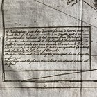
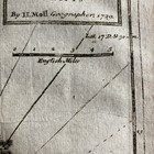
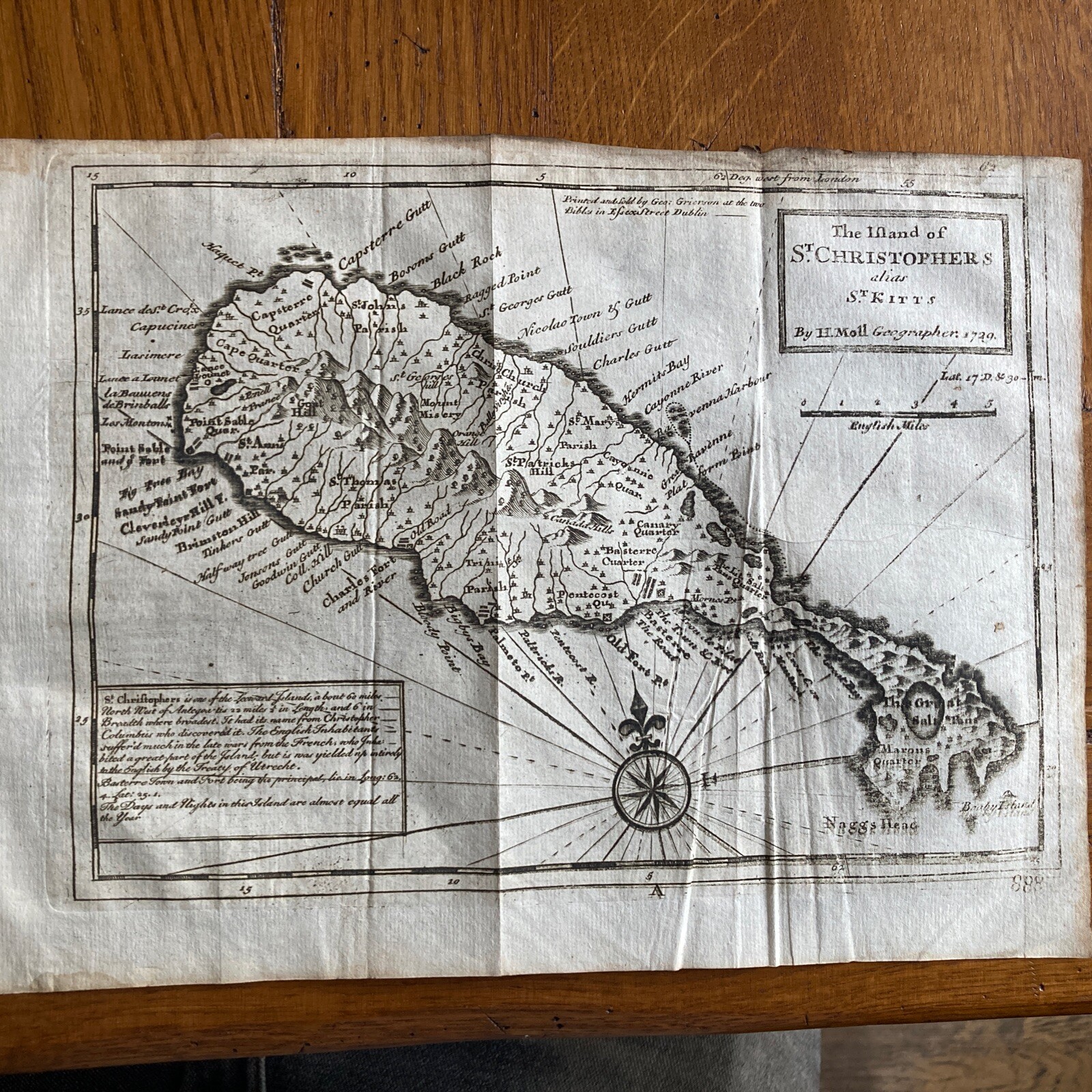
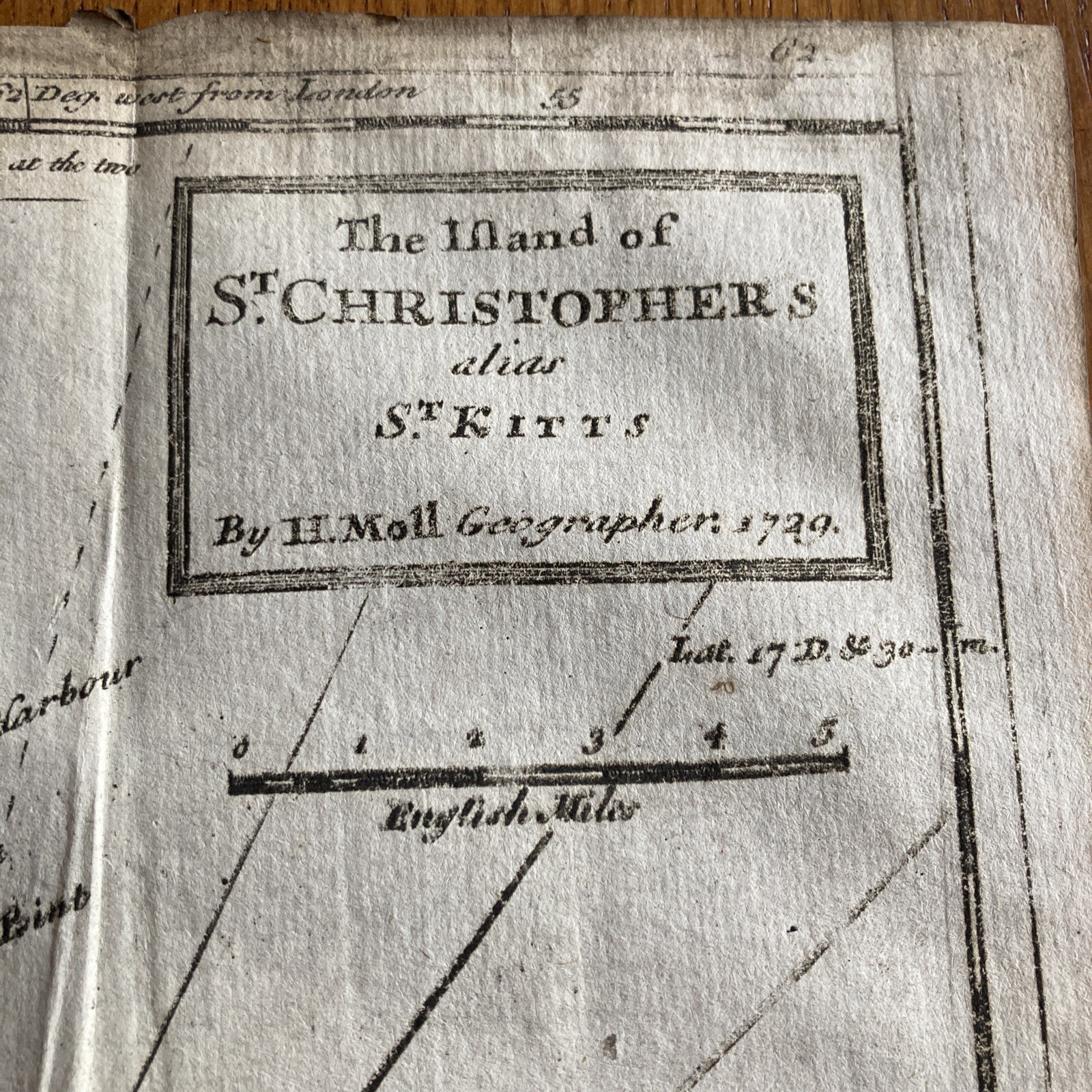
Rare 18th Century Map of St Christopher & St Kitts by Herman Moll 1739 Dublin
GBP 120.00
ApproximatelyUS $162.05
or Best Offer
Condition:
- Buy It NowRare 18th Century Map of St Christopher & St Kitts by Herman Moll 1739 Dublin
Oops! Looks like we're having trouble connecting to our server.
Refresh your browser window to try again.
Shipping:
GBP 22.00 (approx US $29.71) Royal Mail International Standard.
International shipment of items may be subject to customs processing and additional charges.
Located in: Armagh, United Kingdom
Delivery:
Estimated between Mon, Aug 25 and Thu, Sep 11 to 94104
Returns:
Seller does not accept returns.
Payments:
Earn up to 5x points when you use your eBay Mastercard®. Learn moreabout earning points with eBay Mastercard
Shop with confidence
Seller assumes all responsibility for this listing.
eBay item number:388576741588
Item specifics
- Antique
- Yes
- Date Range
- 1700-1799
- Printing Technique
- Copper Plate
- Year
- 1739
- Era
- 1700s
- Cartographer/Publisher
- Herman Moll
- Original/Reproduction
- Antique Original
- Country/Region
- Saint Kitts and Nevis, Central America/Caribbean
Item description from the seller
Seller feedback (79)
- k***2 (3189)- Feedback left by buyer.Past monthVerified purchaseGood item as described which arrived quickly and well packaged from this trusted seller. Good comms & service 5/5
- t***- (31)- Feedback left by buyer.Past 6 monthsVerified purchaseReally happy with the purchase, well packaged. As described and good value. Quick postage.
- l***1 (279)- Feedback left by buyer.Past 6 monthsVerified purchaseGood communication from seller, item well packed and lovely item as described thank you. Recommended seller thank you.
More to explore :
- Herman Moll Antique Sheet Maps,
- Herman Moll Antique Asia Sheet Maps,
- Antique European Maps & Atlases Herman Moll,
- Antique Asian Maps & Atlases Herman Moll,
- Herman Moll Antique Maps, Atlases & Globes,
- Antique Asian Herman Moll Indonesia Maps & Atlases,
- Herman Moll Antique Original Antique European Maps & Atlases,
- Antique European Maps & Atlases Dublin Dublin,
- 18th Century,
- Herman Moll Antique Maps, Atlases & Globes 1700-1799 Date Range