Picture 1 of 1

Gallery
Picture 1 of 1
Have one to sell?
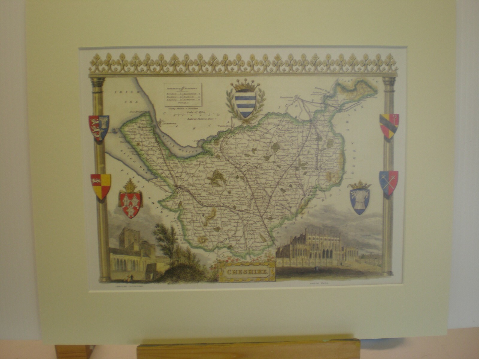
Cheshire Antique County Map Thomas Moule circa 1830
GBP 14.95
ApproximatelyUS $19.51
Condition:
- Buy It NowCheshire Antique County Map Thomas Moule circa 1830
Oops! Looks like we're having trouble connecting to our server.
Refresh your browser window to try again.
Shipping:
Located in: Matlock, United Kingdom
Delivery:
Varies
Returns:
Seller does not accept returns.
Payments:
Earn up to 5x points when you use your eBay Mastercard®. Learn moreabout earning points with eBay Mastercard
Shop with confidence
Seller assumes all responsibility for this listing.
eBay item number:293312813948
Item specifics
- Cartographer/Publisher
- Thomas Moule
- Original/Reproduction
- Vintage Reproduction
- Type
- Topographical Map
- Year
- 1830
- Date Range
- 1800-1899
- Country/Region
- England
- Era
- 1800s
Item description from the seller
Seller feedback (112)
- b***- (71)- Feedback left by buyer.Past monthVerified purchaseProgramme was in good condition and well protected during postage and as described on website
- s***o (191)- Feedback left by buyer.Past 6 monthsVerified purchaseExcellent service. Brings back good memories
- 6***y (1658)- Feedback left by buyer.Past 6 monthsVerified purchaseGood item, fast delivery. Thank you
More to explore :
- Cheshire Antique Europe County Maps,
- Thomas Kelly Antique County Maps,
- Thomas Kelly Antique Original Antique County Maps,
- Thomas Kelly Antique Europe County Maps,
- Thomas Kelly Lithography Antique County Maps,
- Thomas Kelly Lithography Antique Europe County Maps,
- County Map Antique School Maps,
- County Map Antique Wall Maps,
- Woodcut Antique County Maps,
- Contemporary Antique County Maps