
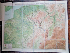
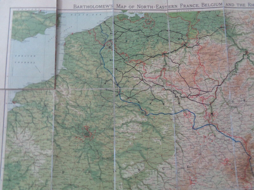
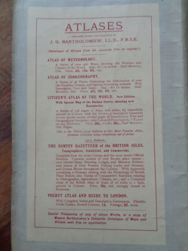
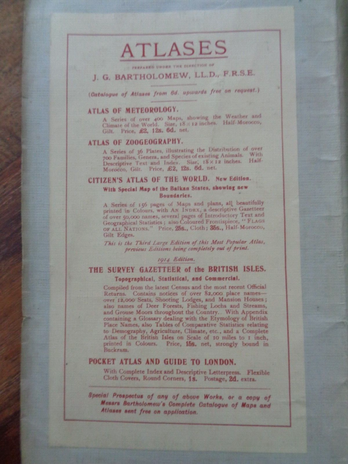
1914 REDUCED SURVEY MAP N E FRANCE BELGIUM RHINE by BARTHOLOMEW COL GERMAN LINE
GBP 9.99GBP 9.99
Sun, Jul 20, 10:34 AMSun, Jul 20, 10:34 AM
Picture 1 of 10


Gallery
Picture 1 of 10


Have one to sell?
1914 REDUCED SURVEY MAP N E FRANCE BELGIUM RHINE by BARTHOLOMEW COL GERMAN LINE
Condition:
Ended: Jul 20, 2025 10:34:00 PDT
Oops! Looks like we're having trouble connecting to our server.
Refresh your browser window to try again.
Shipping:
GBP 31.20 (approx US $42.03) Express Int'l Postage.
International shipment of items may be subject to customs processing and additional charges.
Located in: Whitegate, Cheshire, United Kingdom
Delivery:
Estimated between Tue, Sep 30 and Mon, Oct 6 to 94104
Returns:
Seller does not accept returns.
Payments:
Earn up to 5x points when you use your eBay Mastercard®. Learn moreabout earning points with eBay Mastercard
Shop with confidence
Seller assumes all responsibility for this listing.
eBay item number:226858697034
Item specifics
- Antique
- Yes
- Date Range
- 1910-1919
- Type
- Physical Map
- Format
- Folding Map
- Printing Technique
- Lithography
- Year
- 1914
- Era
- 1910s
- Map View
- Western Hemisphere
- Original/Reproduction
- Antique Original
- Cartographer/Publisher
- John Bartholomew
Item description from the seller
Seller business information
VAT number: GB 216 0509 42
Seller Feedback
No feedback yet
More to explore :
- Antique Ordnance Survey Maps,
- John Bartholomew Antique Topographical Maps,
- Antique Europe Ordnance Survey Maps,
- John Bartholomew Political Map Antique Atlas Maps,
- John Bartholomew Antique Political Maps,
- John Bartholomew Antique Africa Atlas Maps,
- Belgium City Map Antique Europe Atlas Maps,
- Belgium Antique Europe Topographical Maps,
- Antique Asian Maps & Atlases John Bartholomew,
- Antique North Rhine-Westphalia European Maps & Atlases